

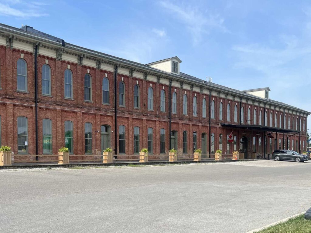
St. Thomas is deciding what can be built on roughly 85 hectares of railway land and downtown-adjacent blocks around CASO Station and the Elgin County Railway Museum. Residents now have three concrete plans to react to. The city’s 25-year planning study for the area, branded Railway City Central 2051, held its first public open house at CASO Station on August 26th. LocVox covered that event at the time. Planners have since posted three different Master Plan Concepts online. Each one shows a different mix of new homes, shops, streets and parks for the same stretch of land.
The first is called Status Quo with Moderate Intensification. It is the smallest change of the three. It could add 475 to 1,325 new housing units, growing the area’s population by 800 to 2,300 people. Most of that growth would come from allowing medium-rise homes and mixed-use buildings on vacant and redevelopment lots. Talbot Street East, First Avenue and Wellington Street would stay mostly commercial, as they are now. The plan extends Centre Street south to Wellington Street as a new public road, and adds about 1.5 hectares of new park space, including a green corridor along that extension.
The second is called High Mixed-Use and Connectivity. It has the biggest range of the three: 2,300 to 3,550 new units and 3,800 to 6,000 more residents. It would allow mixed-use buildings along all of Talbot Street, plus stretches of Wellington Street, Princess Avenue and Moore Street. High-rise buildings could go on the area’s larger vacant parcels. The plan extends Centre Street east to the CASO rail crossing, and adds a grid of new public streets through the middle of the study area. It also brings a revamped Jonas Park and a new public square where Ross Street meets Talbot Street.
The third is called Hybrid Intensification. Despite the name, it is not a middle option. It ranges from 2,500 to 3,500 new units and 4,200 to 5,700 more residents, roughly the same scale as the second concept, with more park space and more commercial space than that plan. Its approach to streets and parks is different, though. It skips the Centre Street extension as a public street, treating that corridor as a walking and cycling green link with park space instead. It adds a new street running from the CASO crossing to a widened Jonas Street. It allows mixed use along most of Talbot Street and several side streets. It also proposes a linear park system with open views, plus walking and biking connections toward CASO Station and the railway museum.
None of the three is a done deal. City staff are still running a technical review of each one, checking for red flags, constraints and infrastructure needs. The evaluation boards themselves say they are not meant as a rigid score. In the city’s early evaluation notes, the second concept is rated as giving the highest support to the city’s growth forecasts, the third medium support, and the first the lowest. That matters because St. Thomas is trying to grow. Citywide, the city expects about 15,300 more households between 2021 and 2051, and a need for roughly 7,700 new housing units between 2024 and 2034. The Railway Lands is only one piece of that citywide picture. But its size, and its location next to downtown and along the rail corridor, make it one of the areas the city is counting on to help.
Residents can look at all three concepts and leave feedback now at speakupstthomas.ca/railwaylands. The site has an online comment tool built around the concepts, a general survey, and a map where people can drop a pin on specific spots they care about. As of early September, the city had not posted a deadline for that feedback. A staff report on the study, PD-56-26, is on council’s agenda for Monday, September 14th, and asks only that the update be received for information, so no concept is chosen at that meeting. After that, staff plan to review all the feedback and prepare one draft preferred plan drawn from the three concepts. That draft goes to a second Public Information Centre, expected in November, with a report to council on the plan targeted for late December.
Sources: Public Information Centre #1 Display Boards, Railway Lands Area Master Plan, Speak Up St. Thomas: Railway Lands Area Master Plan
By Anthony Zruna · About the LocVox Newsroom
Update - September 13, 2026, 8:30 p.m. ET: Removed a sentence that appeared twice in the paragraph on the third concept. Added that the staff report on the study, PD-56-26, is on council’s September 14th agenda to be received for information, that the third concept treats the Centre Street corridor as a walking and cycling green link with park space, and that a report to council on the plan is targeted for late December.